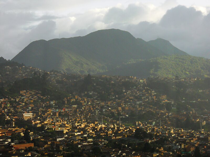
The Eastern Hills are a chain of hills forming the eastern natural boundary of the Colombian capital Bogotá. They are part of the Altiplano Cundiboyacense, the high plateau of the Eastern Ranges of the Colombian Andes. The Eastern Hills are bordered by the Chingaza National Natural Park to the east, the Bogotá savanna to the west and north, and the Sumapaz Páramo to the south. The north-northeast to south-southwest trending mountain chain is 52 kilometres long and its width varies from 0.4 to 8 kilometres. The highest hilltops rise to 3,600 metres over the western flatlands at 2,600 metres. The Torca River at the border with Chía in the north, the boquerón Chipaque to the south and the valley of the Teusacá River to the east are the hydrographic limits of the Eastern Hills.
Geologically, the Eastern Hills are the result of the westward compression along the Bogotá Fault, that thrusted the lower Upper Cretaceous rocks of the Chipaque Formation and Guadalupe Group onto the latest…
Wikipedia https://en.wikipedia.org/wiki/Eastern_Hills_(Bogotá)
Coordinates 4°37'48.433" N -74°2'37.817" E