Enewetak Atoll is a large coral atoll of 40 islands in the Pacific Ocean and with its 664 people forms a legislative district of the Ralik Chain of the Marshall Islands. With a land area total less than 5.85 square kilometres, it is no higher than 5 meters and surrounds a deep central lagoon, 80 kilometres in circumference. It is the second-westernmost atoll of the Ralik Chain and is 305 kilometres west from Bikini Atoll.
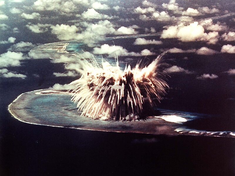
It was held by the Japanese from 1914 until its capture by the United States in February 1944, during World War II. Nuclear testing by the US totaling the equivalent of over 30 megatons of TNT took place during the Cold War; in 1977–1980, a concrete dome was built on Runit Island to deposit radioactive soil and debris.The Runit Dome is deteriorating and could be breached by a typhoon, though the sediments in the lagoon are even more radioactive than those which are contained.
Wikipedia https://en.wikipedia.org/wiki/Enewetak_Atoll
Coordinates 11°32'20.309" N 162°11'48.616" E