Fowler Mountain, est. 750 feet, is a traprock mountain located 7 miles southeast of the center of Meriden, Connecticut. It is part of the narrow, linear Metacomet Ridge that extends from Long Island Sound near New Haven, Connecticut, north through the Connecticut River Valley of Massachusetts to the Vermont border. Fowler Mountain is known for its rugged topography, unique microclimate ecosystems, and rare plant communities. It rises steeply 300 feet above the Ulbrich Reservoir and the Quinnipiac River valley to the west. The mountain is traversed by the 50-mile Mattabesett Trail.
Download Download See more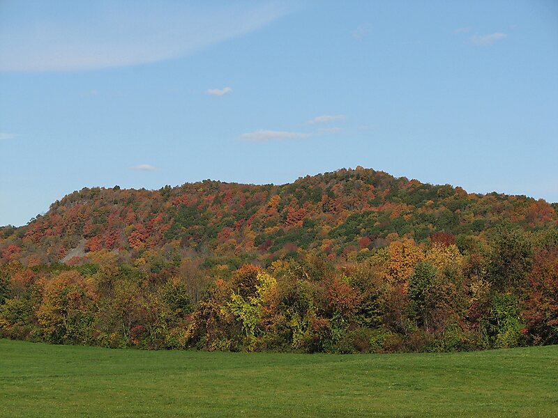
Wikipedia https://en.wikipedia.org/wiki/Fowler_Mountain
Address 99 N Branford Rd, 06492, United States
Coordinates 41°26'34.351" N -72°44'27.349" E

