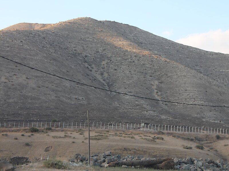
The Golan Heights, or simply the Golan, is a region in the Levant, spanning about 1,800 square kilometres. The region defined as the Golan Heights differs between disciplines: as a geological and biogeographical region, the Golan Heights is a basaltic plateau bordered by the Yarmouk River in the south, the Sea of Galilee and Hula Valley in the west, the Anti-Lebanon with Mount Hermon in the north and Wadi Raqqad in the east; and as a geopolitical region, the Golan Heights is the area captured from Syria and occupied by Israel during the Six-Day War, territory which Israel effectively annexed in 1981. This region includes the western two-thirds of the geological Golan Heights, as well as the Israeli-occupied part of Mount Hermon.
The earliest evidence of human habitation dates to the Upper Paleolithic period. According to the Bible, an Amorite Kingdom in Bashan was conquered by Israelites during the reign of King Og.
Wikipedia https://en.wikipedia.org/wiki/Golan_Heights
Address Syria
Coordinates 33°12'43.442" N 35°47'16.076" E