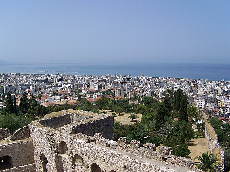
The Gulf of Patras is a branch of the Ionian Sea in Western Greece. On the east, it is closed by the Strait of Rion between capes Rio and Antirrio, near the Rio-Antirrio bridge, that is the entrance of the Gulf of Corinth. On the west, it is bounded by a line from Oxeia island to Cape Araxos. To the north it is bounded by the shore of Aetolia-Acarnania in continental Greece, and to the south by Achaea in the Peloponnese peninsula. It is 40–50 km long, 10–20 km wide, and has an area of 350–400 km2.
The port city of Patras lies to the southeast and is the only major port on the gulf. It serves ferries to Ancona and Brindisi in Italy and to Cephalonia. On the northern shore Missolonghi, also has a port. The old ports of Rio and Antirrio lie at the east end of the Gulf; there is a ferry service between them which complements the traffic over the Rio-Antirio bridge. The gulf is rich in fish and molluscs, including sea snails and clams.
Wikipedia https://en.wikipedia.org/wiki/Gulf_of_Patras
Coordinates 38°15'31.765" N 21°30'25.435" E