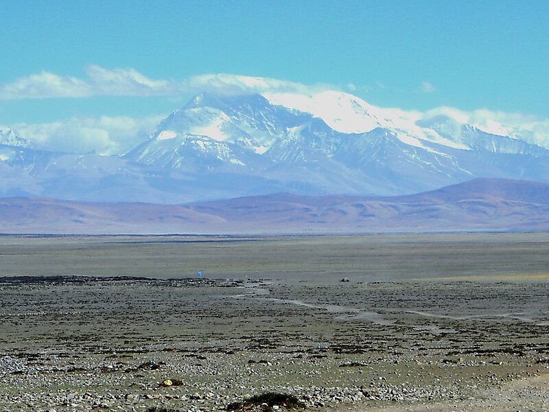
Gurla Mandhata, also Naimona'nyi or Namu Nani, is the highest peak of the Nalakankar Himal, a small subrange of the Himalaya. It lies in Burang County of the Ngari Prefecture in the Tibet Autonomous Region of China, near the northwest corner of Nepal. It is the 34th-highest peak in the world. It is also notable for being well within the interior of the Tibetan Plateau and relatively far away from other peaks with heights greater than 7,500 metres. It sits roughly across Lake Manasarovar from the sacred peak of Mount Kailash.
Download Download See moreWikipedia https://en.wikipedia.org/wiki/Gurla_Mandhata
Address China
Coordinates 30°26'17.227" N 81°17'45.984" E