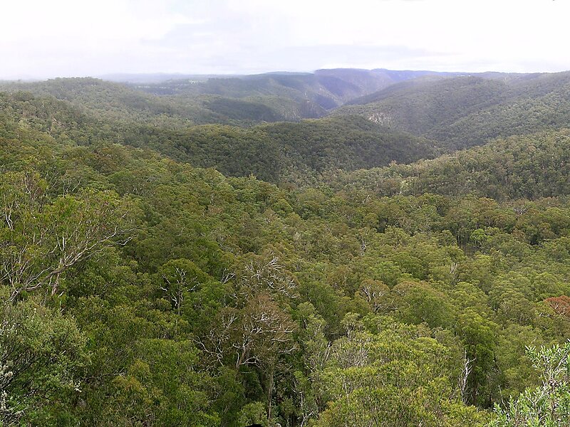
Guy Fawkes River National Park, a national park comprising 100,590 hectares, is located on the eastern edge of the New England Tablelands and the western edge of the Dorrigo Plateau, in north eastern New South Wales, Australia.
Access to the national park via Waterfall Way, is near Ebor, 46 kilometres south-west of Dorrigo and 80 kilometres north-east of Armidale. The national park is approximately 560 kilometres north of Sydney. Additional access points to more remote parts of the national park are via the Armidale-Grafton Road, via Marengo Road at Hernani, Sheepstation Creek Road at Dundurrabin, Ellis Road and Boundary Creek Road south of Nymboida; or from the Old Grafton-Glen Innes Road, via Chaelundi Road at Dalmorton. From the west, the national park is accessible via Wards Mistake.
Wikipedia https://en.wikipedia.org/wiki/Guy_Fawkes_River_National_Park
Coordinates -30°2'10.775" N 152°14'33.517" E