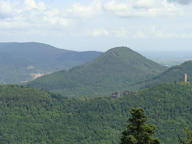
The Hohenberg is a 552 m above sea level high hill in the Palatinate Forest, in the municipalities of Birkweiler, Queichhambach and Siebeldingen. At its summit is an observation tower, a refuge hut and starting ramps for hang gliders.
Download Download See moreWikipedia https://en.wikipedia.org/wiki/Hohenberg_(Wasgau)
Address (Unnamed Road), 76831, Germany
Coordinates 49°12'9.78" N 8°0'18.53" E