Hook of Holland is a town in the southwestern corner of Holland, at the mouth of the New Waterway shipping canal into the North Sea. The town is administered by the municipality of Rotterdam as a district of that city. Its district covers an area of 16.7 km2, of which 13.92 km2 is land. On 1 January 1999 it had an estimated population of 9,400.
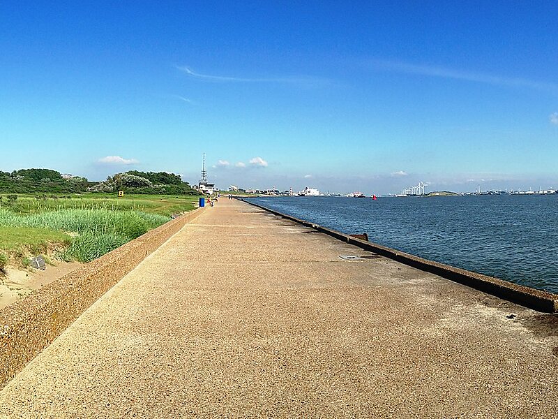
Towns near "the Hook" include Monster, 's-Gravenzande, Naaldwijk and Delft to the northeast, and Maassluis to the southeast. On the other side of the river is the Europort and the Maasvlakte. The wide sandy beach, one section of which is designated for use by naturists, runs for approximately 18 kilometres to Scheveningen and for most of this distance is backed by extensive sand dunes through which there are foot and cycle paths.
Wikipedia https://en.wikipedia.org/wiki/Hook_of_Holland
Official Website http://www.rotterdam.nl/hoekvanholland
Coordinates 51°58'37.781" N 4°7'53.229" E