Houhora is a locality and harbour on the east side of the Aupouri Peninsula of Northland, New Zealand. It is 41 km north of Kaitaia. Waihopo, Te Raupo, Pukenui, Raio and Houhora Heads are associated localities on the southern shores of the harbour. State Highway 1 passes through all these localities except for Houhora Heads. Te Kao is 24 km north west, and Waiharara is 22 km south east.The harbour is long and narrow, mostly sheltered, with exposed sand banks at low tide. There is a deep channel along the southern shore as far as Pukenui Wharf. Tohoraha / Mount Camel is a 236-metre hill forming the north head. The south head is flat.
Download Download See more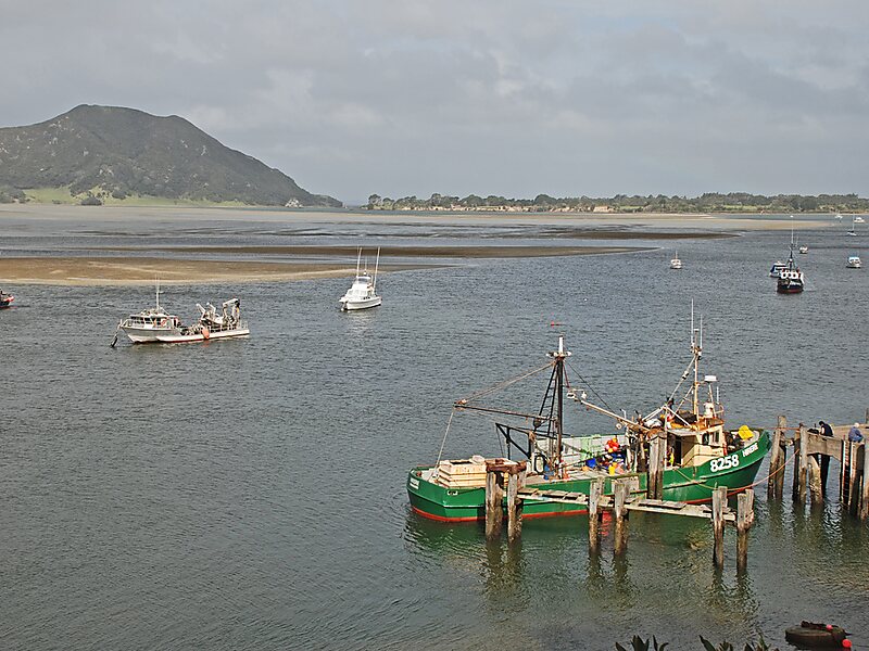
Wikipedia https://en.wikipedia.org/wiki/Houhora
Coordinates -34°47'40.96" N 173°6'20.233" E

