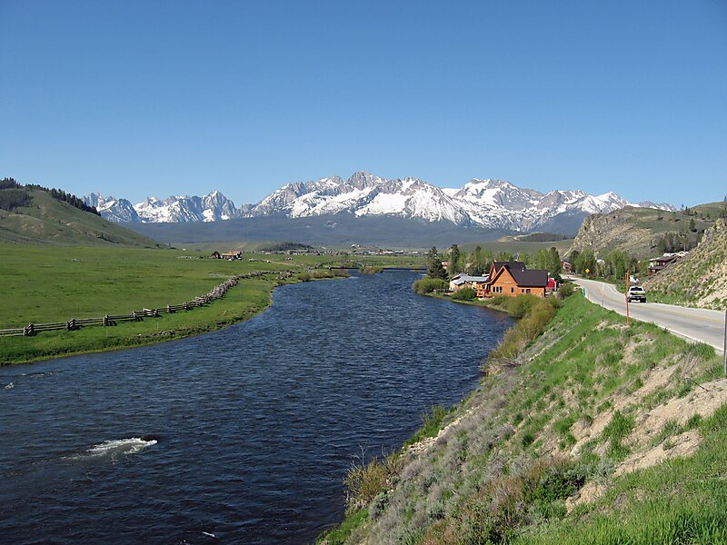
State Highway 75 is a two-lane highway that travels through the Sawtooth Valley of central Idaho. The highway's southern terminus is in Shoshone, and its northern is near Challis. It is designated as one of Idaho's scenic byways and provides access to Sawtooth National Recreation Area. It primarily follows the Big Wood River in the south and the main Salmon River in the north, divided by Galena Summit.
Download Download See moreWikipedia https://en.wikipedia.org/wiki/Idaho_State_Highway_75
Address 44 W Magic Rd, 83352, United States
Coordinates 43°11'25.037" N -114°19'21.014" E