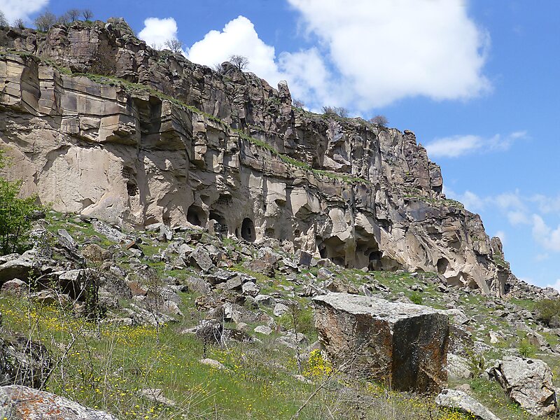
Ihlara, formerly known as Chliára is a town and municipality in the Güzelyurt District, Aksaray Province, Turkey. The population is 2,289. It is situated at about 40 km from the province seat of Aksaray and near the town of Güzelyurt. The township is famed for the nearby valley of the same name, Ihlara Valley, which is a 16 km long gorge cut into volcanic rock in the southern part of Cappadocia, following several eruptions of Mount Erciyes. The Melendiz River flows through the valley.
The Ihlara valley consists of 14 km along the north-south Melendiz River, which runs from Selime to Ihlara village. Sixteen of the valley's 105 churches are open to visitors, and most of these are within 1 km of the official valley entrance in Ihlara. The first one you are likely to see is Ağaçaltı Kilise, at the base of the stairs leading into the valley.
Wikipedia https://en.wikipedia.org/wiki/Ihlara
Address Ihlara Vadisi Yolu, Ihlara/Aksaray Province, Turkey
Coordinates 38°15'23.912" N 34°17'46.405" E