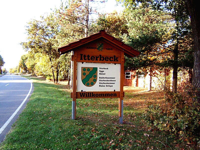
Itterbeck in the district of Grafschaft Bentheim in Lower Saxony is an old farming community that has developed into an independent community with almost 1,800 inhabitants. Itterbeck belongs to the Joint Community of Uelsen, whose administrative seat is in the like-named community.
The name Itterbeck springs from the brook that runs through the community, called the Itter. The Itterbeck landscape is marked by heath, woods and cultivated moorland. In the outlying centre of Egge is found an Evangelical Reformed chapel that belongs to the parish of Uelsen. Worth seeing are the nature reserve and Flora Fauna Habitat Itterbecker Heide and the Egger Riese, an ice-age glacial erratic several metres high. In 2004, Itterbeck celebrated its 750th birthday.
Wikipedia https://en.wikipedia.org/wiki/Itterbeck
Coordinates 52°30'16.791" N 6°48'7.895" E