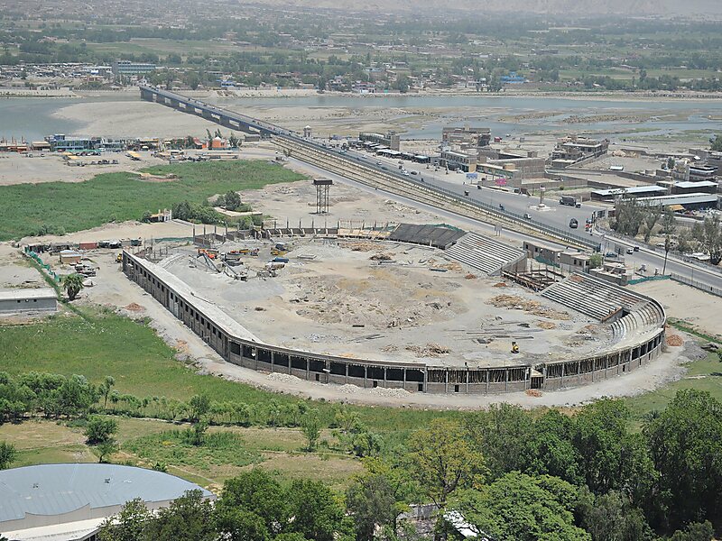
Jalalabad is the fifth-largest city of Afghanistan. It has a population of about 356,274, and serves as the capital of Nangarhar Province in the eastern part of the country, about 130 kilometres from the capital Kabul. Jalalabad is located at the junction of the Kabul River and the Kunar River in a plateau to the south of the Hindu Kush mountains. It is linked by the Kabul-Jalalabad Road to the west and Peshawar in Khyber Pakhtunkhwa, Pakistan, to the east through Torkham and the Khyber Pass.
Jalalabad is a leading center of social and trade activity because of its proximity with the Torkham border checkpoint and border crossing, 65 km away. Major industries include papermaking, as well as agricultural products including oranges, lemon, rice, and sugarcane, helped by its warm climate.

Wikipedia https://en.wikipedia.org/wiki/Jalalabad
Coordinates 34°25'48.702" N 70°27'36.46" E