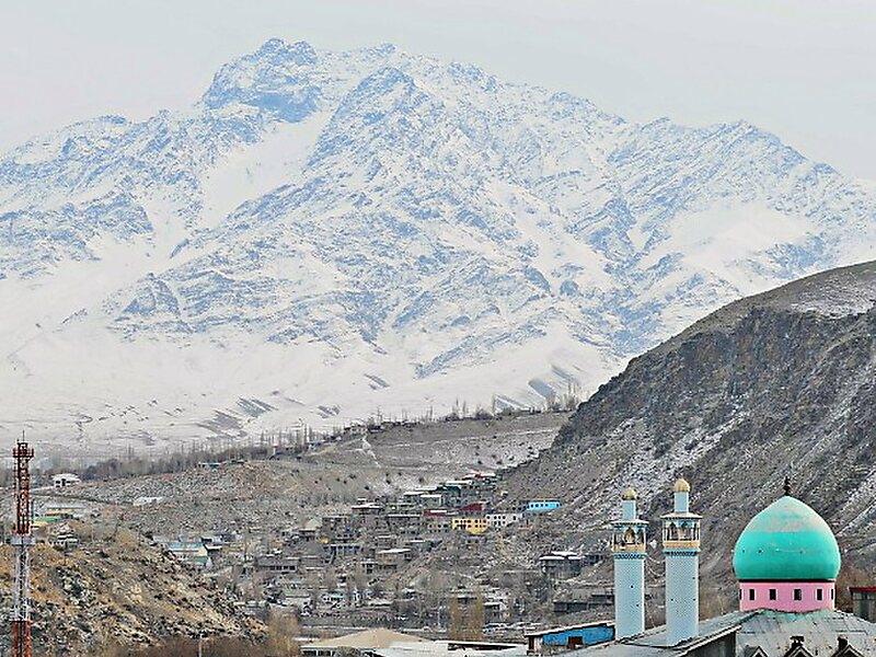
Kargil district is a district in the union territory of Ladakh in northern India. It spans the entire length of Ladakh in the north–south direction, with Jammu and Kashmir to the west, the Leh district to the east, the Pakistan-administered region of Gilgit–Baltistan to the north and Himachal Pradesh to the south. Encompassing two historical regions known as Purig and Zanskar, the district lies to the northwest of the Great Himalayan range and encompasses the majority of the Zanskar Range. Its population inhabits the river valleyes of Dras, Suru, Kartse, Wakha and Zanskar.
The district was created in 1979 by carving it out of the Leh district. In 2003, Kargil was granted a Ladakh Autonomous Hill Development Council.
Wikipedia https://en.wikipedia.org/wiki/Kargil_district
Coordinates 34°33'33.99" N 76°7'32.154" E