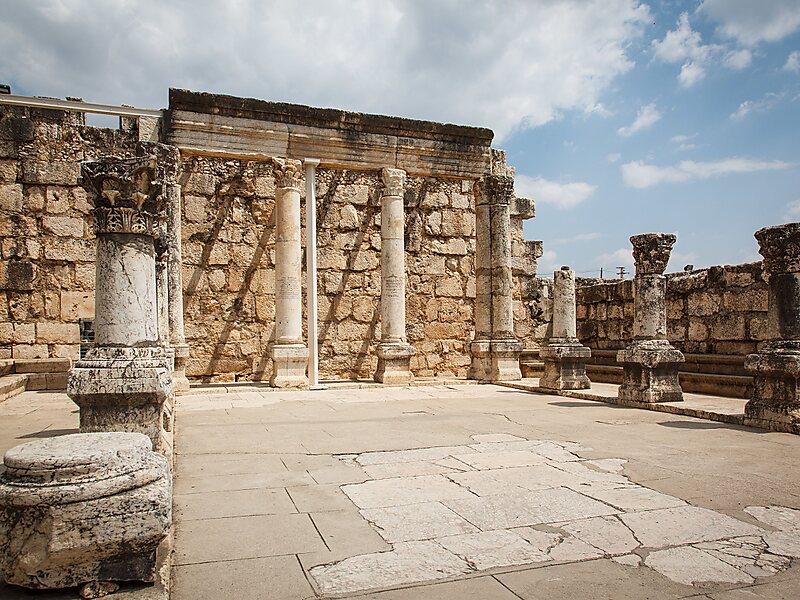
Capernaum was a fishing village established during the time of the Hasmoneans, located on the northern shore of the Sea of Galilee. It had a population of about 1500. Archaeological excavations have revealed two ancient synagogues built one over the other. A house turned into a church by the Byzantines is believed to have been the home of Saint Peter.
The village was inhabited continuously from the second century BC to the 11th century AD, when it was abandoned sometime before the First Crusade. This includes the re-establishment of the village during the Early Islamic period soon after the 749 earthquake.The village subsequently became known as al-Samakiyya; it was depopulated of its Arab Palestinian population during the 1947–1948 civil war in Mandatory Palestine on May 4, 1948, under Operation Matateh.
Wikipedia https://en.wikipedia.org/wiki/Capernaum
Address Israel
Coordinates 32°52'50.643" N 35°34'31.533" E