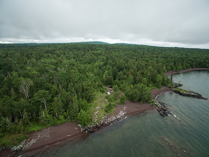
The Keweenaw Rocket Range is an isolated launch pad located in U.S. state of Michigan’s Keweenaw Peninsula. It was used between 1964 and 1971 for launching rockets for meteorological data collection. NASA, along with the University of Michigan, conducted the project under the lead of Harold Allen. The site was one of six similar sites scattered about North America used to collect measurements of electron density, positive ion composition and distribution, energetic electron precipitation, solar X-rays, and Lyman alpha flux.One of the other well-known sites was Wallops Island, Virginia. The collected data was later to be compared to the five other sites.
Download Download See moreWikipedia https://en.wikipedia.org/wiki/Keweenaw_Rocket_Range
Address 18899 Rocket Range Trl, 49950, United States
Coordinates 47°25'49.083" N -87°42'53.322" E