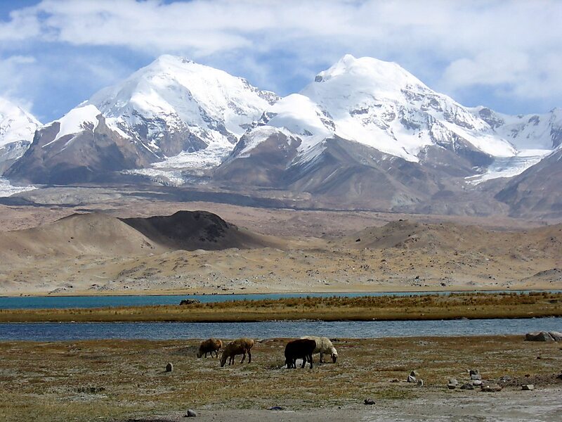
The Kongur Tagh is the highest peak in the Pamir Mountains, and also the highest mountain wholly within the Xinjiang Uyghur Autonomous Region, China. With an elevation of 7,649 metres, it is also the highest mountain outside of the Hindu Kush/Karakoram and Himalaya ranges.
Download Download See moreWikipedia https://en.wikipedia.org/wiki/Kongur_Tagh
Address China
Coordinates 38°35'40.279" N 75°18'54.504" E