Lierne National Park lies in the municipality of Lierne in Trøndelag county, Norway. The 333-square-kilometre park was established on 17 December 2004 by a royal resolution. The park covers 333 square kilometres of land along the border with Sweden. The park lies east of the populated areas in Lierne, about 12 kilometres southeast of the village of Sandvika and about 6 kilometres northeast of the village of Mebygda.
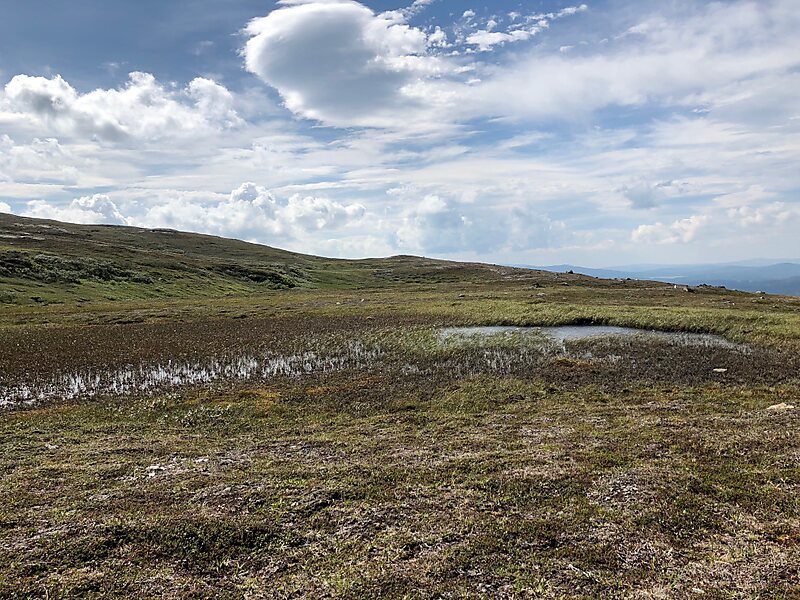
The park is dominated by a large mountainous region rich in lynx, wolverines, bears, and wildfowl. The rare Arctic fox also lives in the area. Much of the land was formed during the last ice age. There are many peaks over 1,000 metres above sea level, the highest of which is Hestkjøltopp at 1,390 metres. There are many wetland areas with large swamps and open woodlands.
Wikipedia https://en.wikipedia.org/wiki/Lierne_National_Park
Address 441 Inderdalsveien, 7884, Norway
Coordinates 64°10'19.996" N 13°45'26.77" E