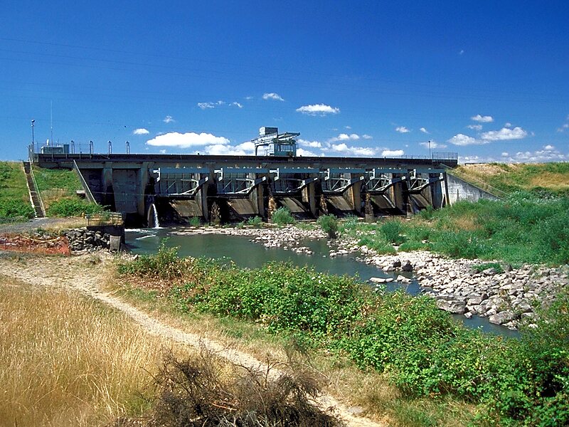
The Long Tom River is a 57-mile tributary of the Willamette River in western Oregon in the United States. It drains an area at the south end of the Willamette Valley between Eugene and Corvallis.It rises in the Central Oregon Coast Range in western Lane County, approximately 10 mi west of Veneta. It flows east through the mountains to Veneta, through the Fern Ridge Reservoir, and then north into the Willamette Valley, roughly parallel to and west of the Willamette River. It joins the Willamette from the southwest approximately 4 mi west of Halsey. The Fern Ridge Reservoir was created in 1942 when the United States Army Corps of Engineers dammed the river to control flooding.
The watershed includes approximately 410 sq mi of land zoned as 45 percent forest, 30 percent agricultural, 8 public, and 17 percent urban or rural residential.

Wikipedia https://en.wikipedia.org/wiki/Long_Tom_River
Coordinates 44°7'12.379" N -123°18'5.839" E