Longridge Fell is the most southerly fell in England, near the town of Longridge, Lancashire. It lies at the southern end of the Forest of Bowland Area of Outstanding Natural Beauty. As its name suggests, it takes the form of a long ridge which rises in a north-easterly direction from within the town of Longridge to its summit 4.5 miles distant. As the ridge curves towards the east, it comes to a sudden end and drops into the Hodder Valley. The fell is a good example of a cuesta; the ridge has a sharp drop or escarpment on its northern side, and a gentler, more varying slope on its southern side. These features make it a popular takeoff for hang-gliders and paragliders on the relatively infrequent occurrences of a northerly wind.
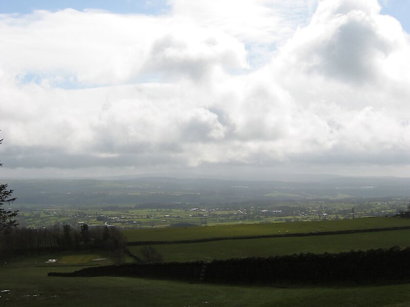
From the fell's 1,148-ft summit, views are afforded of Preston to the south-west; the Fylde Coast to the west; the Vale of Chipping and the fells of the Forest of Bowland to the north and west; the Yorkshire Dales to the north-east; Clitheroe, Pendle Hill and…
Wikipedia https://en.wikipedia.org/wiki/Longridge_Fell
Address BB7 3, United Kingdom
Coordinates 53°51'52.636" N -2°31'17.733" E