The Low Tatras or Low Tatra is a mountain range of the Inner Western Carpathians in central Slovakia.
It is located south of the Tatras proper, from which it is separated by the valleys of the Váh and Poprad rivers. The valley formed by the Hron River is situated south of the Low Tatras range. The ridge runs west-eastwards and is about 80 km long.
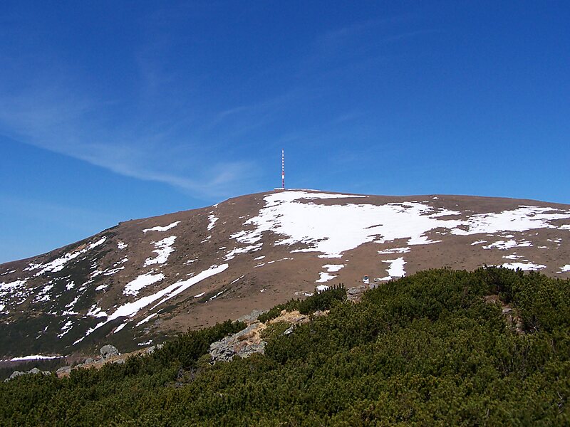
The Čertovica pass divides the range into two parts. The highest peaks of the Low Tatras are located in its western part. Ďumbier is the highest mountain at 2,042 m AMSL. Its neighbour Chopok is accessible by a chairlift, and it is the most visited place in the Low Tatras. Other peaks in the western part include Dereše and Chabenec. The highest peak in the eastern part is Kráľova hoľa. The best viewpoints in western part are Veľká Chochuľa, Salatín, Chabenec, Skalka, Chopok, Ďumbier, Siná, Poludnica and Baba.
Wikipedia https://en.wikipedia.org/wiki/Low_Tatras
Coordinates 48°56'24.483" N 19°43'25.285" E