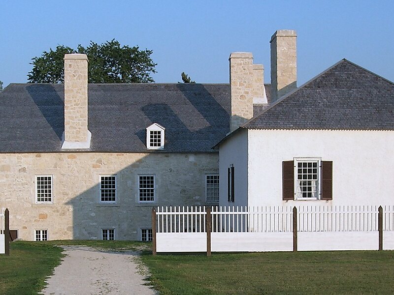
Lower Fort Garry was built in 1830 by the Hudson's Bay Company on the western bank of the Red River, 20 mi north of the original Fort Garry. Treaty 1 was signed there.
A devastating flood destroyed Fort Garry in 1826, prompting the Company's then-governor, George Simpson, to search for a safer location down river. Governor Simpson chose the site of Lower Fort Garry because of its high ground and location below the St. Andrew's Rapids, eliminating a time-consuming portage of heavy fur packs and York boats. However, the fort never became the administrative centre it was intended, since most of the population of the area was centred near The Forks and objected to the extra travel required to do business at the new fort. As a result, Upper Fort Garry was rebuilt in stone at The Forks, very near the original Fort Garry site.
Wikipedia https://en.wikipedia.org/wiki/Lower_Fort_Garry
Phone +1 204 785 6050
Address Main St, Clandeboye, MB R0C 0P0, Canada
Coordinates 50°6'38.081" N -96°55'59.754" E

