Māngere Bridge, officially also called the Manukau Harbour Crossing, is a dual motorway bridge over the Manukau Harbour in south-western Auckland, New Zealand, crossing between the suburb also known as Māngere Bridge and the suburb of Onehunga.
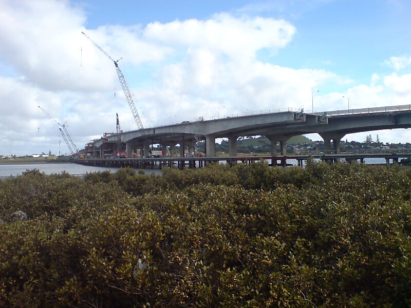
The older portion of the bridge, completed in 1983, carries a four-lane motorway with a cycle and pedestrian path suspended under the western side. By 2000, this bridge was carrying 80,000 vehicles daily and had become prone to congestion.In 2010, a duplication of the 1983 bridge was opened on its eastern side. This doubled the number of general traffic lanes to eight and provided an additional two for buses, for a total capacity of 10 lanes across the harbour. The project had been delayed by disagreements over design and funding, and over the scope of the bridge project and an associated interchange – with the interchange being scaled down after concerns from the local community.
Wikipedia https://en.wikipedia.org/wiki/Māngere_Bridge_(bridges)
Address Southwestern Motorway, 2024, New Zealand
Coordinates -36°56'1.382" N 174°47'17.899" E