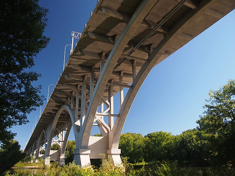
The Mendota Bridge, Minnesota, United States, carries State Highways 55 and 62 over the Minnesota River between Fort Snelling and Mendota Heights. It is the final bridge over the Minnesota River before the Minnesota flows into the Mississippi River at the "Meeting of the waters" or "Mendota" in the Dakota language. Traffic on the north end of the bridge may turn onto the Fort Road Bridge to cross the Mississippi River into Saint Paul, Minnesota. The skylines of both Minneapolis and Saint Paul can be seen simultaneously from the bridge.
Download Download See moreWikipedia https://en.wikipedia.org/wiki/Mendota_Bridge
Address Mendota Brg, 55118, United States
Coordinates 44°53'14.5" N -93°10'39.47" E