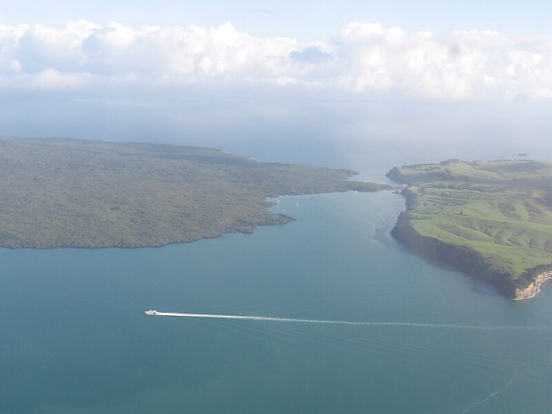
Motutapu Island is a 1,510 ha island in the Hauraki Gulf to the northeast of the city of Auckland, New Zealand. The island is part of the Hauraki Gulf Maritime Park. Its full name, rarely used, is Te Motutapu a Taikehu, "The sacred island of Taikehu", Taikehu having been a tohunga of the Tainui iwi. 'Motutapu', meaning "sacred" or "sanctuary" island, is a term used for various islands in a number of Polynesian cultures. The island can be accessed via regular ferry services departing from Auckland City.
Download Download See moreWikipedia https://en.wikipedia.org/wiki/Motutapu_Island
Coordinates -36°45'53.709" N 174°54'56.262" E