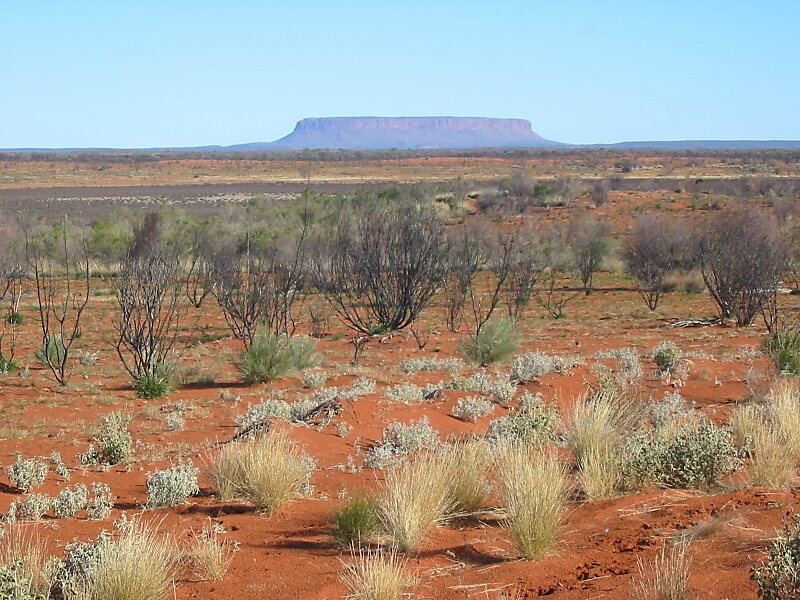
Mount Conner, also known as Atila, Artilla, or Fool-uru, is a mountain located in the southwest corner of the Northern Territory of Australia, 75 kilometres southeast of Lake Amadeus, in the locality of Petermann. It lies within the Curtin Springs cattle station in Pitjantjatjara country, close to the site of the Kungkarangkalpa Dreaming. Its height reaches 859 metres above sea level and 300 metres above ground level.
Download Download See moreWikipedia https://en.wikipedia.org/wiki/Mount_Conner
Address 0872, Australia
Coordinates -25°29'38.645" N 131°53'51.083" E