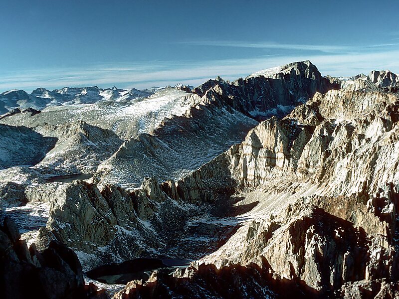
Mount Whitney is the highest mountain in the contiguous United States and the Sierra Nevada, with an elevation of 14,505 feet. It is in East–Central California, on the boundary between California's Inyo and Tulare counties, and 84.6 miles west-northwest of North America's lowest point, Badwater Basin in Death Valley National Park, at 282 ft below sea level. The mountain's west slope is in Sequoia National Park and the summit is the southern terminus of the John Muir Trail, which runs 211.9 mi from Happy Isles in Yosemite Valley. The eastern slopes are in Inyo National Forest in Inyo County. Mount Whitney is ranked 18th by topographic isolation.
Download Download See moreWikipedia https://en.wikipedia.org/wiki/Mount_Whitney
Official Website http://www.mount-whitney.com/
Address 93545, United States
Coordinates 36°34'42.394" N -118°17'32.226" E