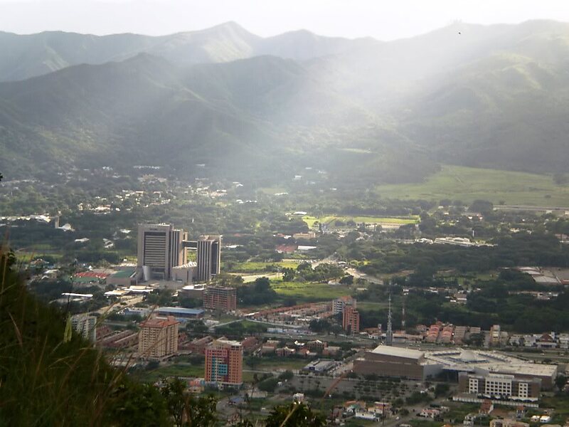
The Naguanagua municipality is one of the 14 municipalities that makes up the Venezuelan state of Carabobo and, according to the 2011 census by the National Institute of Statistics of Venezuela, the municipality has a population of 157,437. The town of Naguanagua is the shire town of the Naguanagua Municipality. It forms part of the greater Valencia Metropolitan Area in Venezuela. It is in the valley of the Cabriales River at the base of Cerro El Café and the El Trigal Mountain. Valencia and Naguanagua form a continuous urban area. The highway that runs from the centre of Valencia towards Puerto Cabello passes through this community; Bolivar Avenue in Valencia becomes University Avenue in Naguanagua on the northern side of a traffic roundabout, or redoma.
Download Download See moreWikipedia https://en.wikipedia.org/wiki/Naguanagua_Municipality
Coordinates 10°15'29.29" N -68°0'43.557" E