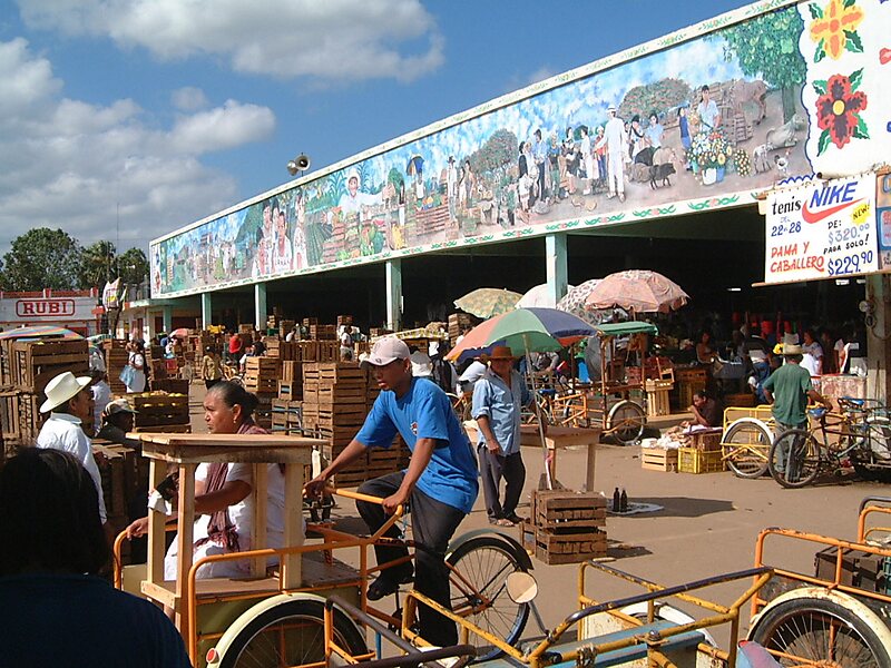
Oxkutzcab Municipality is a municipality, with a municipal seat of the same name in the Mexican state of Yucatán, southeast of Maní, Yucatán, located at
20°18′10″N 89°25′0″W. The name in the Yucatec Maya language means "Place of ramon, tobacco, and honey".According to the 2005 census, Oxkutzcab had a population of 21,341 people in the city and 27,084 in the entire municipality, predominantly of Maya descent. Henequen, sugar, tobacco, maize, and fruit are grown commercially in the surrounding area. The municipality has an area of 512.23 km2 and includes a number of smaller towns, the largest of which are Yaxhachén, Xohuayán, Emiliano Zapata, and Xul. Loltun Cave is 5 km south of the city.
Wikipedia https://en.wikipedia.org/wiki/Oxkutzcab_Municipality
Address 94 Calle 52, Oxkutzcab 97880, Mexico
Coordinates 20°18'14.623" N -89°25'9.988" E