Paama is a small island in Malampa Province, Vanuatu.
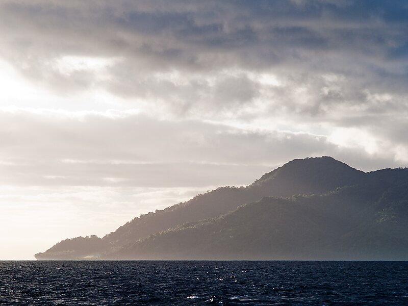
The island is about 8 km from north to south and only 5 km or so at its widest point. The island is dominated by hills, rising to a height of around 550 m in the north.
Paama lies a short distance south of Ambrym, a little further east of Malakula, about 7 km west of the large active volcano Lopevi (Ulvae, in the vernacular, and a short distance north of the island of Epi. During daylight, all of Paama's neighbouring islands are clearly visible from various locations on the island. Indeed, on a clear night the red glow of Ambrym's twin volcanos can be seen clearly from the black sand beach at Liro.
Wikipedia https://en.wikipedia.org/wiki/Paama
Coordinates -16°28'17.18" N 168°14'10.4" E

