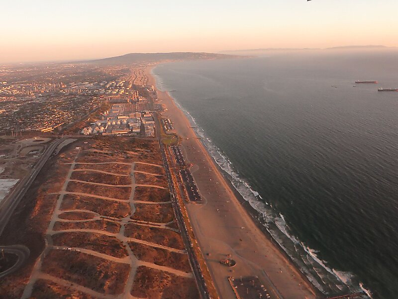
Palisades del Rey was a 1921 neighborhood land development by Dickinson & Gillespie Co. that later came to be called the Playa del Rey district of Los Angeles County, California. It lay at an elevation of 135 feet. All of the houses in this area were custom built, many as beach homes owned by Hollywood actors and producers, including Cecil B. DeMille, Charles Bickford, and others.
A southern portion of Playa del Rey became known as Surfridge. It was south of the current remaining area of Playa del Rey and north of El Segundo and immediately west of the perimeter of Los Angeles International Airport. The area is bounded on the east by LAX, on the north by Waterview and Napoleon streets, on the south by Imperial Highway, and on the west by Vista del Mar. The beach to the west of the area is Dockweiler State Beach.
Wikipedia https://en.wikipedia.org/wiki/Palisades_del_Rey,_California
Address 241 Deauville St, Los Angeles 90293, United States
Coordinates 33°56'30.68" N -118°26'15.479" E