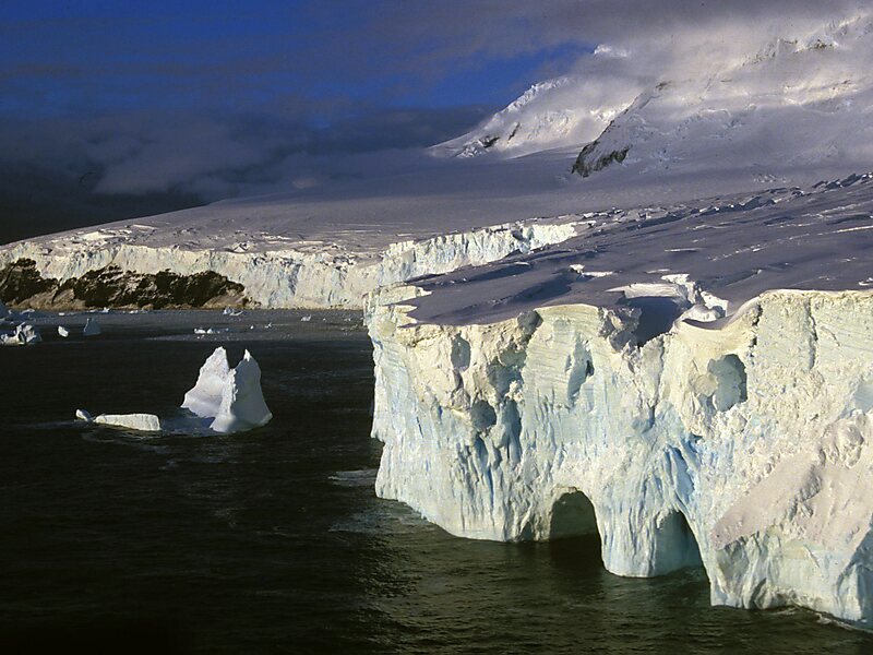
Peter I Island is an uninhabited volcanic island in the Bellingshausen Sea, 450 kilometres from continental Antarctica. It is claimed as a dependency of Norway and, along with Bouvet Island and Queen Maud Land, composes one of the three Norwegian dependent territories in the Antarctic and Subantarctic. The island measures approximately 11 by 19 kilometres, with an area of 156 km2; its highest point is the ultra-prominent, 1,640-metre-tall Lars Christensen Peak. Nearly all the island is covered by a glacier, and it is surrounded most of the year by pack ice, making it inaccessible during these times. There is little vertebrate animal life on the island, apart from some seabirds and seals.
The island was first sighted by Fabian Gottlieb von Bellingshausen on 21 January 1821 and was named for Peter I of Russia. Not until 2 February 1929 did anyone set foot on the island, when Nils Larsen and Ola Olstad's Second Norvegia Expedition, financed by Lars Christensen, was successful.

Wikipedia https://en.wikipedia.org/wiki/Peter_I_Island
Coordinates -68°51'0.117" N -90°35'16.483" E