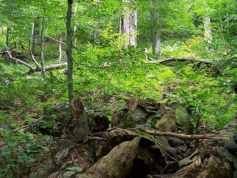
Poloniny National Park is a national park in northeastern Slovakia at the Polish and Ukrainian borders, in the Bukovské vrchy mountain range, which belongs to the Eastern Carpathians. It was created on 1 October 1997 with a protected area of 298.05 km2 and a buffer zone of 109.73 km2. Selected areas of the park are included into Primeval Beech Forests of the Carpathians UNESCO World Heritage Site.
Download Download See moreWikipedia https://en.wikipedia.org/wiki/Poloniny_National_Park
Address 06766, Slovakia
Coordinates 49°2'42" N 22°25'30" E