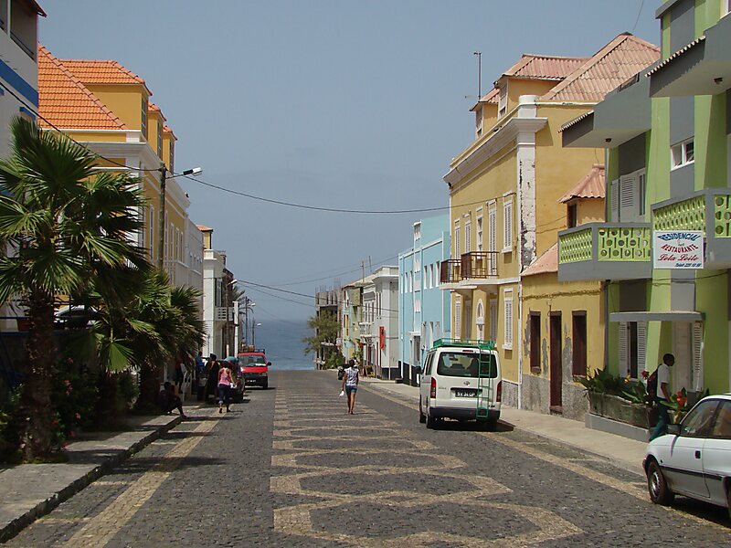
Ponta do Sol is the northernmost city on the island of Santo Antão and Cape Verde. It is situated on the coast, 4 km northwest of Ribeira Grande and 20 km north of the island capital Porto Novo. It is the seat of Ribeira Grande municipality.
Ponta do Sol is divided into the neighbourhoods Casinhas, Cavouquinho das Tintas, Chã de Cemitério, Chã de Ponta do Sol, Lombinho, Lombo da Cruz, Lombo de Paço, Os Órgãos, Ponta do Sol and Ribeira da Ponta do Sol.
Ponta do Sol takes its name from the nearby headland Ponta do Sol, the northernmost point of Cape Verde. The former name Vila Dona María Pia refers to Maria Pia of Savoy, queen of Portugal between 1862 and 1889.
Wikipedia https://en.wikipedia.org/wiki/Ponta_do_Sol,_Cape_Verde
Coordinates 17°12'4.802" N -25°5'27.797" E