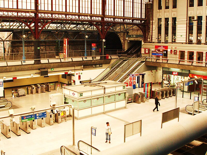
Príncipe Pío is a multimodal station in Madrid, Spain that services Madrid Metro's Line 6, Line 10, and Ramal; Cercanías Madrid's commuter rail lines C-1, C-7, and C-10; and city buses and intercity and long-distance coaches. It is located next to the River Manzanares between the San Vicente roundabout and the streets of Cuesta de San Vicente, Paseo de la Florida, and Paseo del Rey in the district of Moncloa-Aravaca. It is one of the busiest stations in the Madrid Metro and Cercanías systems.
Príncipe Pío's train station has three levels. The highest level, which is used by Cercanías trains, is elevated and has an island platform. The middle level, which is used by Madrid Metro Lines 6 and 10, is partially underground and has a dual-island platform with four tracks arranged to facilitate cross-platform transfers.
Wikipedia https://en.wikipedia.org/wiki/Príncipe_Pío_(Madrid_Metro)
Official Website https://www.metromadrid.es/es/linea/linea-6-circular#estacion-625
Address Paseo de la Florida, Madrid 28008, Spain
Coordinates 40°25'15.462" N -3°43'9.601" E