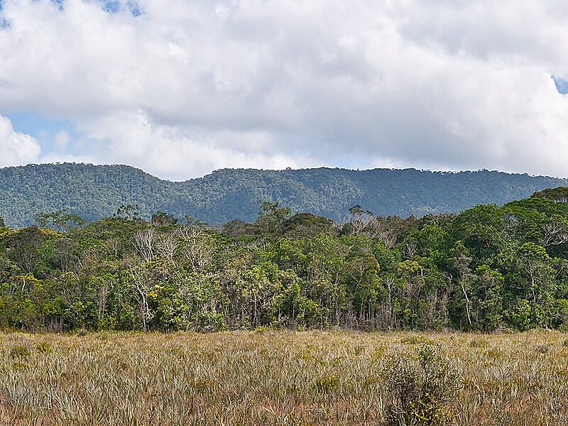
Ptari-tepui, also spelled Pu-tari and sometimes called Cerro Budare or Cerro del Budare, is a tepui in Bolívar state, Venezuela. Lying near the centre of the Sierra de Lema, it has a maximum elevation of around 2,400 metres above sea level. Its mostly bare summit plateau has an area of 1.25 km2. Though generally flat, distinctive erosional rock formations are found on the more dissected eastern edge of the summit.
Download Download See moreWikipedia https://en.wikipedia.org/wiki/Ptari-tepui
Address Venezuela
Coordinates 5°46'1.65" N -61°48'40.379" E