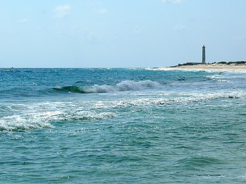
Punta Sur marks the southern point of Cozumel and is part of the Parque Punta Sur, a 247-acre ecological park that covers the reefs, beaches, lagoons, and low forest of the surrounding area. The reef system is also part of the Arrecifes de Cozumel National Park.
The Celarain lighthouse sits on the Punta Sur promontory and is part of a nautical museum. Just northeast of it is the Caracol, a Maya building erected during the post-classic period. There is a persistent myth, often repeated by tour guides, that the building functioned as a weather alarm, producing a whistle that would precede the arrival of a hurricane, but that is only a legend. The idea that the building somehow functioned as a lighthouse or beacon used to send signals to the mainland is another legend, but also incorrect; it was a temple and nothing more.
Wikipedia https://en.wikipedia.org/wiki/Punta_Sur
Address (Unnamed Road), Mexico
Coordinates 20°16'24.852" N -86°59'25.634" E