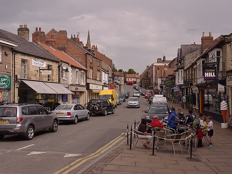
Ryedale is a non-metropolitan district in North Yorkshire, England. It is in the Vale of Pickering, a low-lying flat area of land drained by the River Derwent. The Vale's landscape is rural with scattered villages and towns. It has been inhabited continuously from the Mesolithic period. The economy is largely agricultural with light industry and tourism playing an increasing role.Towns include Helmsley, Kirkbymoorside, Malton, Norton-on-Derwent, and Pickering. Part of Ryedale lies within the North York Moors National Park. The A64 passes through Ryedale and village’s such as Rillington. In the 2011 Census, the population of this primarily rural area of 150,659 hectares, the largest district in North Yorkshire, was 51,700.
Download Download See moreWikipedia https://en.wikipedia.org/wiki/Rye_Dale
Coordinates 54°17'14.148" N -1°9'2.989" E