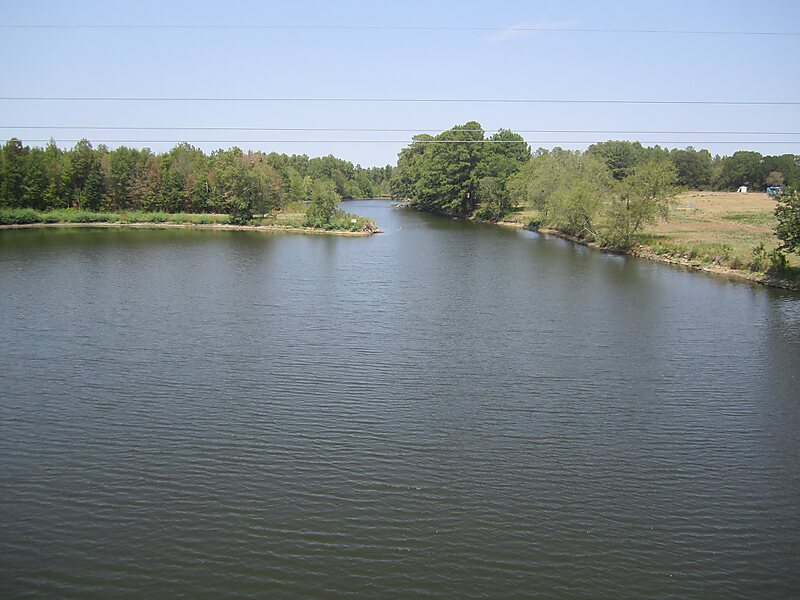
The Sabine River () is a 360-mile long river in the Southern U.S. states of Texas and Louisiana, From the 32nd parallel north and downstream, it serves as part of the boundary between the two states and empties into Sabine Lake, an estuary of the Gulf of Mexico.
Over the first half of the 19th century, the river formed part of the Spanish–American, Mexican–American, and Texan–American international boundaries. The upper reaches of the river flow through the prairie country of northeast Texas. Along much of its lower reaches, it flows through pine forests along the Texas–Louisiana border, and eventually the bayou country near the Gulf Coast.
Wikipedia https://en.wikipedia.org/wiki/Sabine_River_(Texas–Louisiana)
Coordinates 30°11'34.96" N -93°42'44.241" E