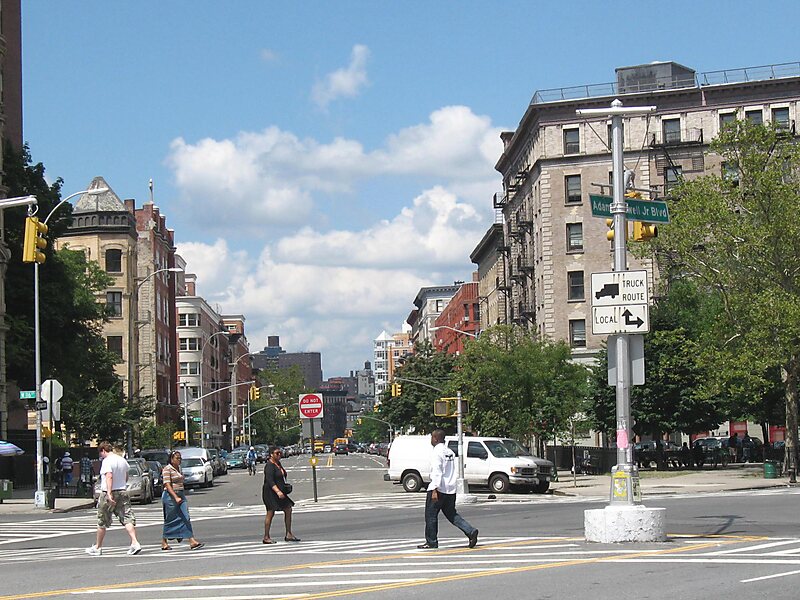
St. Nicholas Avenue is a major street that runs obliquely north-south through several blocks between 111th and 193rd Streets in the New York City borough of Manhattan. The route, which follows a course that is much older than the grid pattern of the Commissioners' Plan of 1811, passes through the neighborhoods of Harlem, Hamilton Heights, and Washington Heights. It is believed to follow the course of an old Indian trail that became an important road in the 17th century between the Dutch settlement of New Amsterdam and the British New England Colonies. In the post colonial era, it became the western end of the Boston Post Road. The road became a street when row housing was being built in Harlem during its rapid urban expansion following the end of the American Civil War.
St. Nicholas Avenue serves as a border between the West Side of Harlem and Central Harlem. The IND Eighth Avenue Line runs under St.
Wikipedia https://en.wikipedia.org/wiki/St._Nicholas_Avenue
Coordinates 40°50'51.63" N -73°56'5.766" E