Scarborough Shoal, also known as Bajo de Masinloc, Panatag Shoal, Huangyan Island, and Democracy Reef, are two rocks in an atoll located between Luzon and Macclesfield Bank administrated by the Philippines in the South China Sea. It is 220 kilometres away from the nearest landmass of Luzon, the largest island of the Philippines.It is a disputed territory claimed by the Republic of the Philippines through the 1734 Velarde map, while the People's Republic of China and the Republic of China claim it through the disputed nine-dash line. The atolls status is often discussed in conjunction with other territorial disputes in the South China Sea such as those involving the Spratly Islands, and the 2012 Scarborough Shoal standoff.
Download Download See more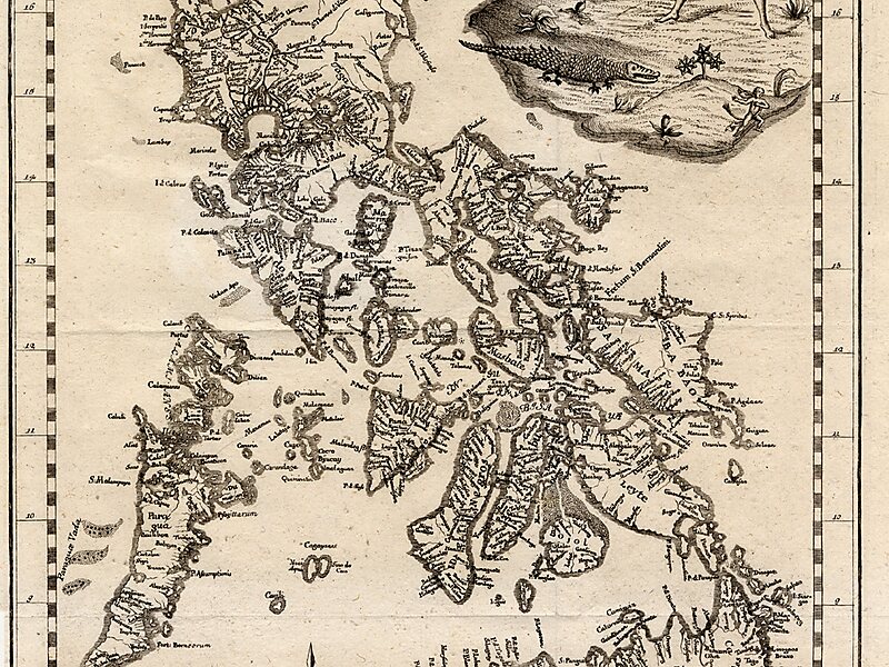
Wikipedia https://en.wikipedia.org/wiki/Scarborough_Shoal
Coordinates 15°9'5.068" N 117°45'54.149" E

