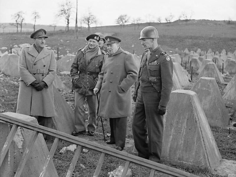
The Siegfried Line, known in German as the Westwall, was a German defensive line built during the 1930s opposite the French Maginot Line. It stretched more than 630 km; from Kleve on the border with the Netherlands, along the western border of the old German Empire, to the town of Weil am Rhein on the border to Switzerland – and featured more than 18,000 bunkers, tunnels and tank traps.
From September 1944 to March 1945 the Siegfried Line was subjected to a large-scale Allied offensive.
Wikipedia https://en.wikipedia.org/wiki/Siegfried_Line
Address 4761, Belgium
Coordinates 50°27'35.219" N 6°17'42.057" E
