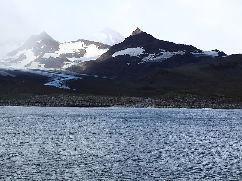
Saint Andrews Bay is a bight 2 miles wide, indenting the north coast of South Georgia immediately south of Mount Skittle. Probably first sighted by the British expedition under Cook which explored the north coast of South Georgia in 1775. The name dates back to at least 1920 and is now well established. On charts where abbreviations are used, the name may be abbreviated to St. Andrews Bay.
King penguins form huge breeding colonies, and the one at St Andrews Bay has over 150,000 birds and is probably the largest in the world. Because of the long breeding cycle, colonies are continuously occupied.
Wikipedia https://en.wikipedia.org/wiki/St_Andrews_Bay,_South_Georgia
Coordinates -54°26'32.982" N -36°10'21.567" E