Tapada da Ajuda is a green space located in Lisbon, in the parish of Alcântara.
It occupies a walled area of one hundred hectares, of free entrance. The main entrance is located on Calçada da Tapada, in the Ajuda area.
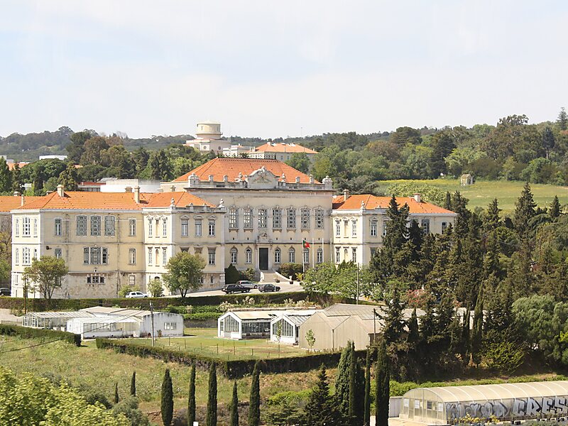
In this space, corresponding to a former royal and confining north to the Monsanto Forest Park, there are the Lisbon Astronomical Observatory, the Instituto Superior de Agronomia, an Exhibition Pavilion and the playing fields of Agronomia. At the highest point of Tapada, next to the geodesic landmark, there is a belvedere that offers a vast panorama over the river Tagus.
Wikipedia https://en.wikipedia.org/wiki/Tapada_da_Ajuda
Official Website https://www.isa.ulisboa.pt/visitantes/tapada-da-ajuda
Coordinates 38°42'46.206" N -9°11'14.243" E