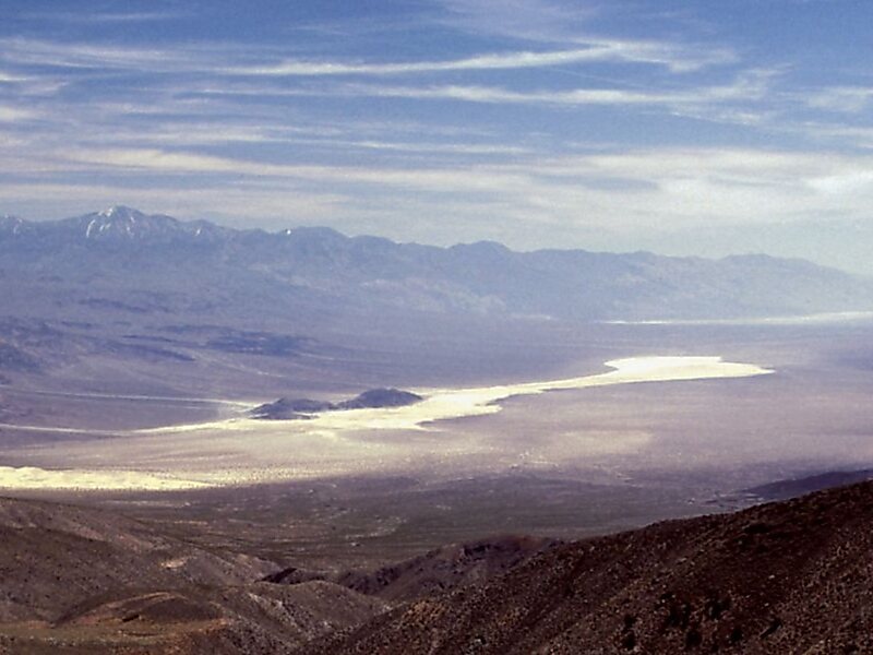
Telescope Peak is the highest point within Death Valley National Park, in the U.S. state of California. It is also the highest point of the Panamint Range, and lies in Inyo County. From atop this desert mountain one can see for over one hundred miles in many directions, including west to Mount Whitney, and east to Charleston Peak. The mountain was named for the great distance visible from the summit.
Download Download See moreWikipedia https://en.wikipedia.org/wiki/Telescope_Peak
More information http://www.localhikes.com/Hikes/TelescopePeak_0000.asp
Address 92328, United States
Coordinates 36°10'11.136" N -117°5'20.796" E