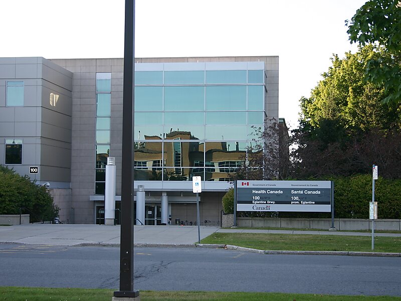
Tunney's Pasture is a 49-hectare campus in the Canadian capital of Ottawa, Ontario that is exclusively developed for federal government buildings. It is bordered by Scott Street to the south, Parkdale Avenue to the east, the Sir John A. Macdonald Parkway to the north, and the Champlain Park neighbourhood to the west. While strictly speaking it is confined to this area, people living in the vicinity of it will often call the wider neighbourhood Tunney's Pasture.
The complex is served by Tunney's Pasture station, a stop on the Transitway bus rapid transit system and the western terminus on the Confederation Line of Ottawa's O-Train light rail system.
Wikipedia https://en.wikipedia.org/wiki/Tunney's_Pasture
Address 156 Eglantine Driveway, Ottawa K1Y, Canada
Coordinates 45°24'21.677" N -75°44'16.338" E