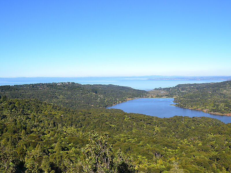
The Waitakere Ranges are a chain of hills in the Auckland Region, generally running approximately 25 km from north to south, 25 km west of central Auckland, New Zealand. The maximum elevation within the ranges is 474 m. The ranges and surrounding areas were traditionally known to local Māori as Te Wao Nui o Tiriwa. It is under the jurisdiction of the Auckland Council. From 1 May 2018 the forested areas of the Waitākere Ranges Regional Park were closed, with some exceptions. This is to prevent the spread of, and protect against, kauri dieback disease.
The western coastline of the ranges consists of cliffs exceeding 300 m, interspersed infrequently with beaches. The rugged upstanding topography is formed from erosion-resistant ancient volcanic conglomerate and lava flows laid down in eruptions from the large Waitakere volcano to the west 12–25 million years ago.
The park is accessible 24/7.
Wikipedia https://en.wikipedia.org/wiki/Waitakere_Ranges
Official website http://regionalparks.aucklandcouncil.govt.nz/waitakereranges
Address Arataki Visitor Centre 300 Scenic Drive Titirangi New Zealand
Coordinates -36°56'47.972" N 174°36'28.554" E