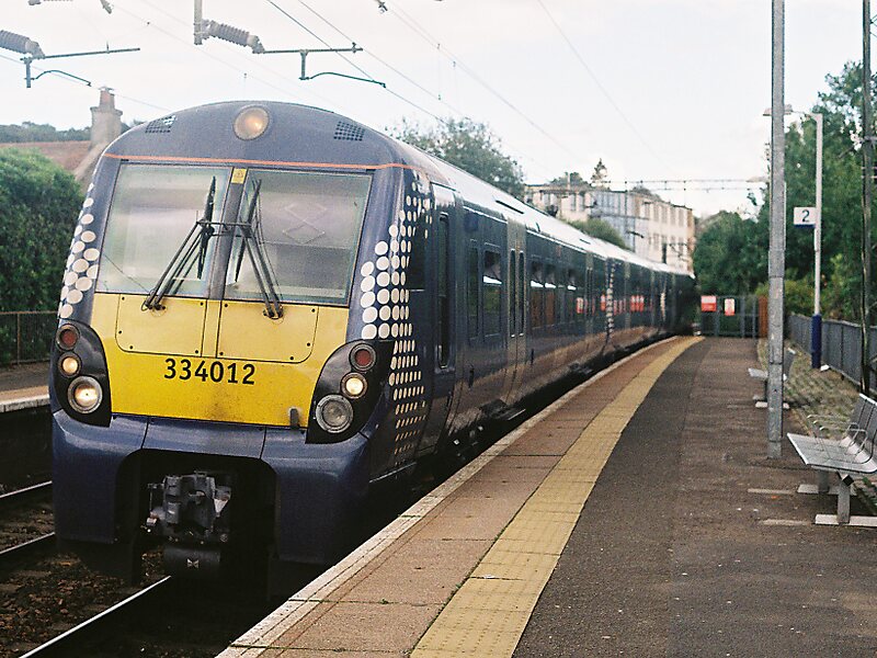
Westerton railway station is a railway station that serves the Westerton district in the town of Bearsden, Scotland. The station is managed and served by ScotRail as part of the Strathclyde Partnership for Transport network. It is located on the Argyle and North Clyde lines, between Drumchapel to the west, Bearsden to the north, and Anniesland and Maryhill to the south-east. It is 6 miles 10 chains west of Glasgow Queen Street, measured via Maryhill.
The station lies very close to the Forth and Clyde Canal and the boundary between East Dunbartonshire and the city of Glasgow.
Wikipedia https://en.wikipedia.org/wiki/Westerton_railway_station
Address 107 Maxwell Avenue, Milngavie G61 1PB, United Kingdom
Coordinates 55°54'17.375" N -4°20'6.481" E