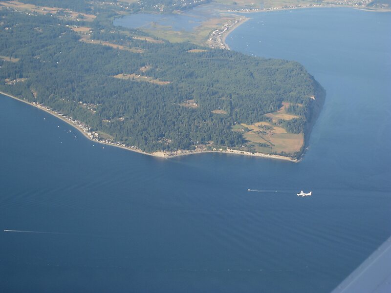
Whidbey Island is the largest of the islands composing Island County, Washington, in the United States, and the largest island in Washington State. Whidbey is about 30 miles north of Seattle, and lies between the Olympic Peninsula and the I-5 corridor of western Washington. The island forms the northern boundary of Puget Sound. It is home to Naval Air Station Whidbey Island. The state parks and natural forests are home to numerous old growth trees.
According to the 2000 census, Whidbey Island was home to 67,000 residents with an estimated 29,000 of those living in rural locations. This increased slightly to 69,480 residents as of the 2010 census.Whidbey Island is approximately 37 miles from north to south, and 1.5 to 10 miles wide, with a total land area of 168.67 square miles, making it the 40th largest island in the United States.
Wikipedia https://en.wikipedia.org/wiki/Whidbey_Island
Coordinates 48°9'26.858" N -122°33'58.446" E